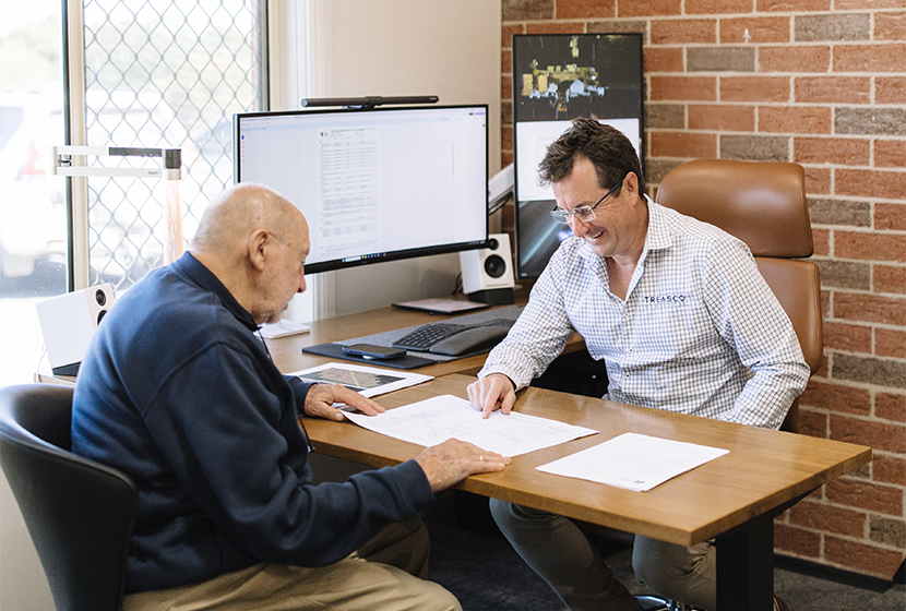

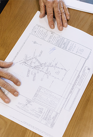
Good surveying begins with understanding the question behind the measurements.
Since 2021, Treasco Surveyors has provided strategic, full-service surveying solutions across New South Wales and into Victoria and the ACT. Led by Registered Land Surveyor David Treasure, our team works with property owners, developers, councils, consultants, energy companies and construction professionals.
We ask the right questions, look beyond the immediate survey task and provide reliable information for planning, design, construction, land management and registration.
These three principles guide how we approach every project.
Survey information often supports significant financial, legal and construction decisions. We take care to understand the required purpose, select an appropriate methodology and prepare information that is fit for its intended use.
Our role is not simply to provide measurements. We explain what is required, identify matters that may affect the project and give clients and consultants a clear basis for moving forward.
The most valuable survey is not necessarily the one that captures the most information. It is the one that answers the right questions, avoids unnecessary work and remains useful throughout the project.
Every project is different.
A rural boundary survey presents different challenges from a residential subdivision, an existing-building scan or a power-line corridor. The terrain, access, accuracy, legal requirements, technology and deliverables must all respond to the work at hand.
We begin by understanding:
From there, we recommend a clear scope and an appropriate combination of survey methods.
This tailored approach helps reduce uncertainty, avoid collecting information without a purpose and give the broader project team a reliable foundation for its work.
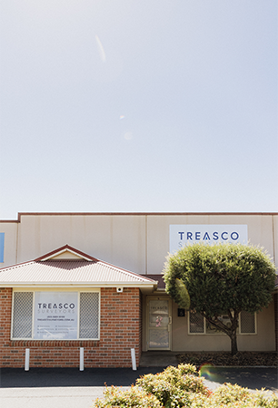
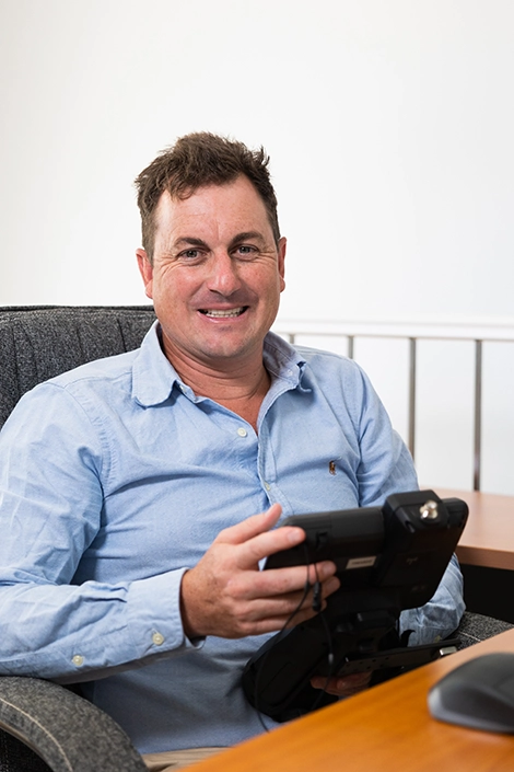
Treasco Surveyors was founded by David Treasure, a Registered Land Surveyor with 20 years of industry experience.
David grew up on a cattle farm in rural Victoria. That background gave him a practical understanding of farm management, extensive landholdings and the importance of making decisions that support the future use of the property.
Today, this experience influences how Treasco approaches rural and regional work. We understand that access, terrain, weather, livestock, operating conditions and distance can all affect how a survey should be planned.
The same practical thinking applies across our property development, subdivision, construction and infrastructure projects: understand the real conditions, plan the work carefully and provide information people can use.
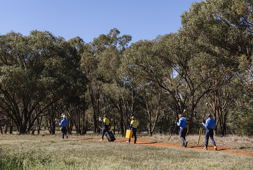
Clients need access to experienced advice, particularly when a project involves boundaries, development potential, approvals or complex site conditions.
David personally oversees each project, supported by a trusted team of surveyors and technicians. This provides senior involvement while allowing fieldwork, research, processing and documentation to be completed efficiently.
Our team also works closely with the other professionals responsible for your project, which may include:
Clear communication helps keep survey information consistent from one stage to the next.
Survey technology should serve the outcome, not define it.
Treasco Surveyors uses current GPS, scanning and aerial data-capture equipment, including technology from Trimble Geospatial and DJI Enterprise.
We do not use every technology on every site. Conventional surveying may be the most appropriate method for one project, while drones, LiDAR or laser scanning may improve coverage and efficiency on another.
Depending on the site and scope, our methodology may incorporate:
The right method is the one that provides the required information safely, accurately and efficiently.
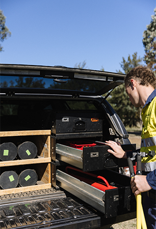
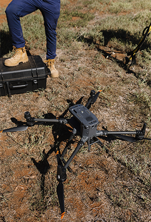
Reliable outcomes depend on skilled people as well as quality equipment.
Treasco continues to invest in professional development and formal training. This includes vocational training for survey technicians, tertiary surveying studies and specialised preparation for work in rural, remote and operational environments.
Team development includes training in areas such as:
This investment helps our team work confidently across varied terrain, changing site conditions and different types of surveying projects.

We discuss the property, project stage, intended outcome and any concerns you already have.
Where required, we review title information, previous surveys, design files, approvals and other relevant records.
We recommend the survey work, accuracy, technology and deliverables appropriate to the task.
Our team undertakes the required fieldwork using methods suited to the site and project.
Measurements are processed and reviewed before the agreed plans, models or digital files are prepared.
We explain the outcome and coordinate with your consultants, council, solicitor, builder or other project professionals where required.

Our team works across urban, regional, rural and remote environments.
That may mean investigating a residential boundary, surveying a large rural holding, capturing a development site, documenting an existing structure or working along an infrastructure corridor.
Each setting has different access, safety, terrain and information requirements. We plan around those conditions rather than applying the same process to every job.
This combination of professional judgement, regional experience and adaptable technology allows us to support projects across New South Wales and into Victoria and the ACT.
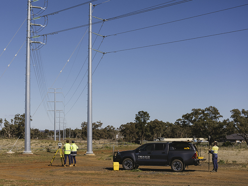
Whether you are developing land, confirming a boundary, planning a subdivision or delivering infrastructure, early advice can help establish the right survey and avoid unnecessary work.
Call (02) 6881 8199 or email projects@treascosurveyors.com.au to discuss your project.