Reliable surveying advice and spatial information for property, rural land, development, construction and infrastructure.
Based in Dubbo, Treasco Surveyors primarily works across Central and Far West NSW, with the capacity to support projects throughout NSW, the ACT and Victoria.
From confirming a boundary to surveying a large infrastructure corridor, we tailor our approach to the property, project stage and outcome you need.

Detailed digital capture of buildings, structures and sites for design, documentation and construction.
Explore 3D Laser Scanning
Photogrammetry and aerial LiDAR for detailed mapping of large, remote or difficult-to-access sites.
Explore Aerial Drone Surveying
Survey support from early feasibility and site investigation through design, approvals, construction and final documentation.
Explore Property Development
Boundary, topographic, easement and infrastructure surveys suited to rural properties, varied terrain and large land areas.
Explore Rural Surveying
Practical advice and cadastral surveying for residential and rural subdivisions, boundary adjustments and land-title arrangements.
Explore Subdivision Planning
Survey control, corridor surveys, construction set-out and as-built information for power, communications and civil infrastructure.
Explore Energy and Infrastructure SurveyingGood surveying is not simply about collecting measurements. It is about understanding which information matters, how it will be used and what needs to happen next.
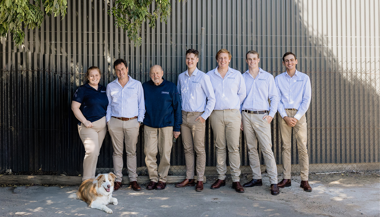
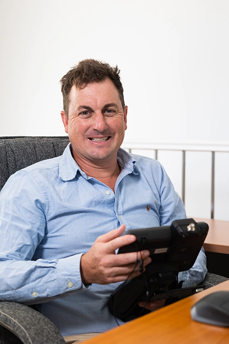
Led by Registered Land Surveyor David Treasure, Treasco Surveyors provides tailored surveying solutions supported by professional knowledge, practical regional experience and modern technology.
Reliable survey information prepared with care and suited to its intended purpose.
Clear advice about requirements, potential constraints and the next stage of your project.
An efficient scope focused on the information you genuinely need.
Founded in 2021, Treasco Surveyors works with:
Our rural background gives us a practical understanding of large properties, challenging access and varied terrain. We apply the same considered approach to residential, commercial, development and infrastructure projects.
We use technology according to the site and required outcome, not simply because it is available.
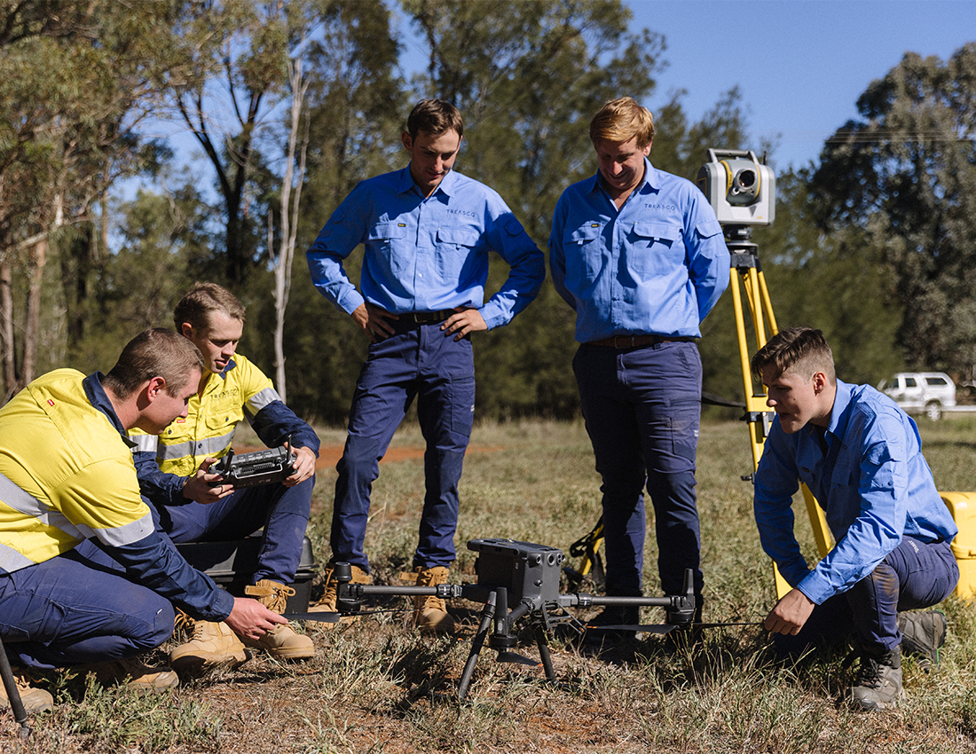
Depending on the project, our survey methods may include GPS, conventional surveying, aerial drones, photogrammetry, LiDAR and 3D laser scanning.
This allows us to work efficiently across everything from residential properties and existing buildings to rural holdings, construction sites and infrastructure corridors.
We begin with your property, project and the decision you need to make.
We review relevant records, plans, site conditions and project requirements.
Our team collects the required information using methods suited to the task.
We prepare clear plans, models or digital data and support the next stage of your project.
That depends on what you need to establish. Tell us about the property, project and intended use of the information, and we can recommend an appropriate starting point.
Whether you are confirming a boundary, developing land, planning construction or delivering infrastructure, early advice can reduce uncertainty and help establish a clear path forward.
Call (02) 6881 8199 or email projects@treascosurveyors.com.au.

We engaged David and his team to survey our block for building works. They were fast, efficient and reasonably priced. We would definitely use again and highly recommend to others looking for a local surveyor.
5 Stars for a 5 Star service, David and his friendly team navigated our project from start to finish and constantly kept us up to date throughout the whole process, their attention to details and experience are second to none - thank you Treasco Team. Highly Recommended!
A fantastic experience with David and the team. Highly responsive with great expertise, it was a pleasure to have them provide a solution for us
We engaged Treasco Surveyors for our new project and David provided clear advice as to the options available and met all timelines as originally proposed. A friendly service and we will be using Treasco again for our next project.
I recently used the services of Treasco Surveyors for a property I was looking to purchase. From start to finish, they were professional and knowledgeable. They provided detailed advice throughout the entire process, and I felt very confident in their ability to measure and document the area. In addition, their customer service was fantastic. They were always available to answer questions and provide updates on the progress of the survey. I would highly recommend Treasco Surveyors to anyone looking for reliable and professional surveyors.